

The Land of Giants at the End of the World (part 2)
Posted by: Maria in January 2026 (9 months, 2 weeks ago)
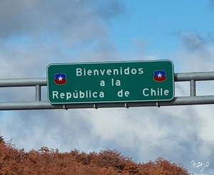
We crossed for the third time the border between Argentina and Chile, in order to reach another of the highlights on our road trip throughout Patagonia, this time in the Chilean part - the Torres del Paine National Park (Parque Nacional Torres del Paine).
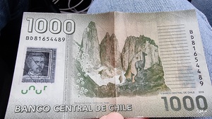
Bordering the Los Glaciares National Park to the north, it was designated a World Biosphere Reserve by UNESCO in 1978 and is probably the most famous and visited national park in Patagonia. You can even find it on the 1,000 Chilean pesos bill!
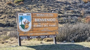
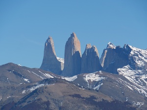
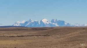
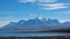
The park’s centerpiece - the Cordillera Paine - is the most iconic mountain range in Chile and in all of Patagonia. Its most outstanding and famous rock formations are of course the three granite peaks of Torres del Paine, rising up to 2,500 m (8,200 ft) above sea level, which gave the park its name. "Torres del Paine" means "Towers of Blue" (from the combination of the Spanish word "torres" for "towers" and the indigenous Tehuelche word "paine" for "blue") as the iconic spires appear blue due to the reflection of the sky and the glacial rivers and lakes, creating a striking landscape of blue hues. Also stunning are the Cuernos del Paine (meaning "Horns of Blue"), another set of spiky granite peaks reaching around 2,600 m (8,500 ft), some of them with a fittingly "sharp" name - Aleta de Tiburón (Shark's Fin), Fortaleza (Fortress), La Espada (The Sword), La Hoja (The Blade), La Máscara (The Mask), Cuerno Norte (North Horn), Cuerno Principal (Main Horn) and Cuerno Este (East Horn). In addition to the spectacular towering mountains, the park boasts many rivers, fjords, lagoons and lakes with surreal colours, as they receive water from the nearby glaciers belonging to the Southern Patagonian Ice Field, including the famous Grey Glacier.
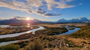
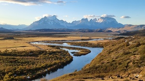
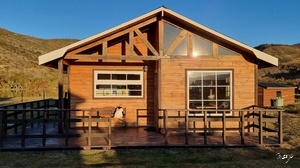
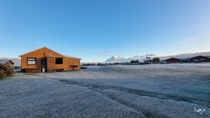
The hiking trails and viewpoints around all this beauty will be a treat! However, you will have to choose wisely considering the number of hikes available and the size of the park. Since there is no town in or next to the park, you can either drive there from Puerto Natales, located 112 km (70 mi) from the park, or stay in the tiny village of Río Serrano, which has developed within the park’s territory. The latter option has of course the advantages of being inside the park and enjoying the stunning views of the mountains around, but it also has three hiccups to bear in mind - lodging is expensive, limited and needs to be booked well in advance, there are no restaurants in the village except in one of the hotels, and there are no gas stations either, which means that if you are driving a rental car, you need to watch out for the fuel level and perhaps drive back to Puerto Natales to fill up your tank. We opted for staying in Río Serrano despite the drawbacks and managed to book two nights in a cabin with a kitchen and some jaw-dropping views of the Cordillera Paine (given the freezing temperatures, our campervan was unfortunately not an option during this time of the year…)!
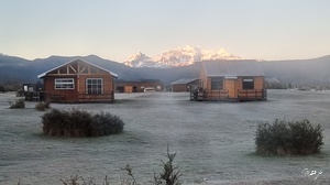
On the way there, we stopped in Puerto Natales to stock up on fuel and groceries. Since we did not want to drive back and forth to Puerto Natales for more fuel, we stayed only two days and two nights in the park, after having calculated as accurately as possible the quantity we needed to drive around and constantly watching out like hawks on the level of our tank… We definitely could have stayed longer, but it was still great and we made the best of it, while looking with a certain degree of pity upon the majority of visitors, stuffed like sardines in the minibuses of the local hotels, driving them around to a couple of viewpoints for a way too rushed overview of the park’s beauty.
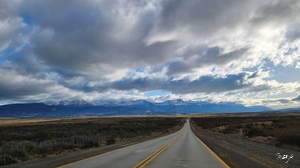
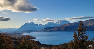
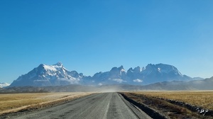
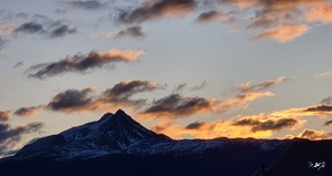
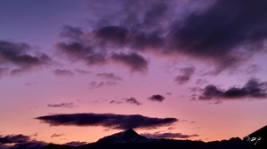
Upon our arrival in our wooden cabin in Río Serrano, we were welcomed by the majestic peaks of the Cordillera Paine in the light of some jaw-dropping sunset colours!
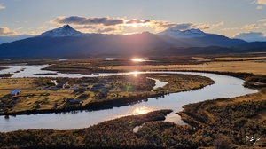
The views from the Serrano River Viewpoint (Mirador Río Serrano), overlooking the village and the Serrano River, were equally stunning at any time of the day.
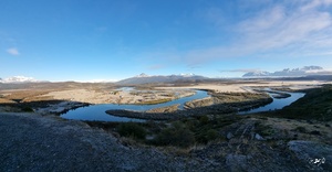
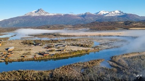
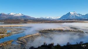
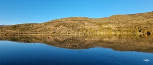
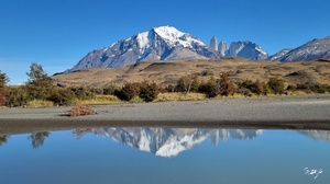
The W Trek through Torres del Paine is one of South America’s most celebrated hikes, but there is more to the park than just this multi-day hike. In the early morning of our first day in the park we were rewarded with some spectacular misty views and mirror reflections of the mountains in the ink-like water of the Paine River and Lago del Toro (or "Bull Lake"), the largest lake of the Torres del Paine National Park. And it was only the beginning…
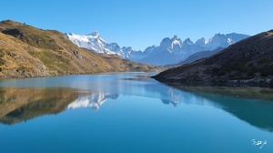
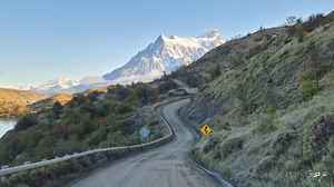
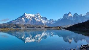
We went for our first hike of the day from Lake Pehoé to the Condor Viewpoint (Mirador Cóndor). It was an easy 2.4-km (1.5-mi) round-trip and the views of the lake and the snow-capped mountains from the summit were magnificent! We felt like we were on the top of the world…
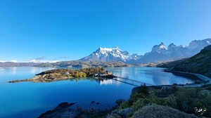
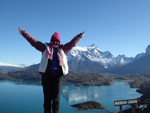
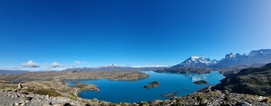
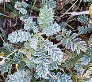
Since we started quite early in the morning (the temperatures during the night had dropped well below 0°C or 32°F), the grass was still frozen…
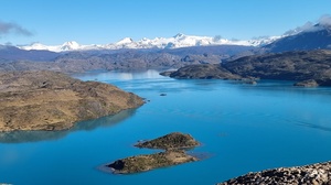
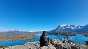
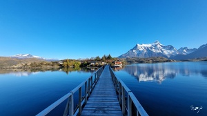
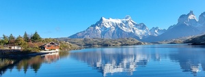
On the way back, we stopped at the shore of Lake Pehoé and ventured on the cute wooden bridge, leading to a quaint island in the middle of the lake, for more spectacular views and reflections of the peaks in its turquoise water!
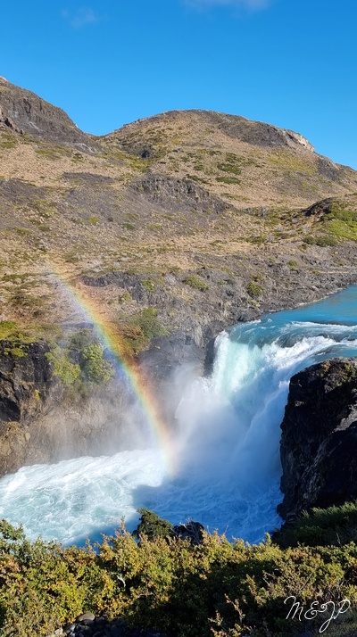
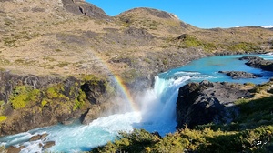
The starting point of our second hike of the day to the Horns Viewpoint (Mirador Cuernos) was another natural gem - the Salto Grande Waterfall (Cascada del Salto Grande or the "Waterfall of the Big Jump") on the Paine River after Lake Nordenskjöld, which threw up quite a show with several gorgeous rainbows hanging over it!
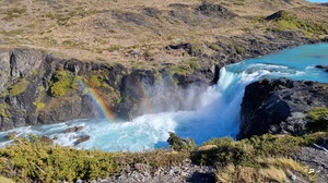
The 6.4-km (4-mi) round-trip was not difficult either and offered more striking reflections!
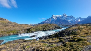
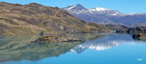
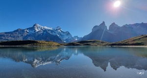
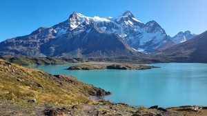
The views of Lake Nordenskjöld, the dramatic horn-shaped peaks of Cuernos del Paine and the French Valley (Valle Francés) - probably the most beautiful valley of the park, dominated by the magnificent hanging French Glacier (Glaciar Francés) - were a stunner.
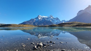
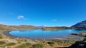
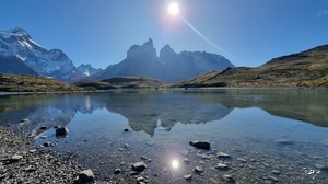
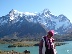
Our third and last hike of the day was probably the easiest. We started from the parking lot of Hotel Lago Grey and followed a trail leading to a pebbled black-sand beach, from where we took in the views of Lake Grey and the Grey Glacier in the distance.
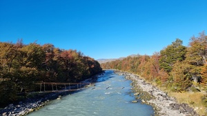
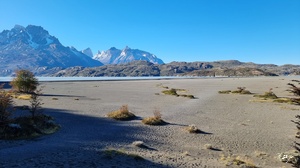
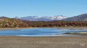
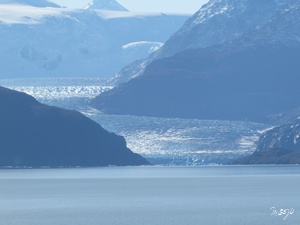
A couple of icebergs had broken from the glacier and were floating on the surface of the lake.
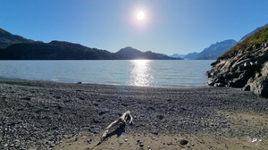
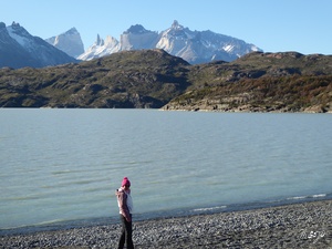
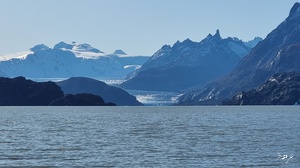
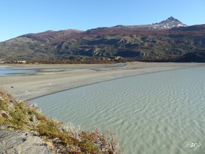
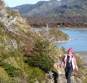
If you want to get closer to the Grey Glacier, you can hop on a boat. We preferred to simply get a little bit closer to the majestic ice giant by crossing the beach and walking along the lakeshore to the Lake Grey Viewpoint (Mirador Lago Grey).
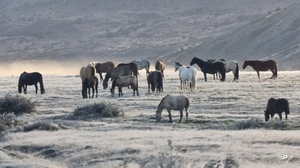
Our second day in the Torres del Paine National Park started at dawn with the sight of wild horses, surrounded by frosted grass and the misty light of the early morning. The colours of the sunset were like in a fairytale!
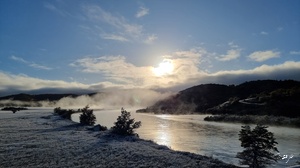
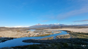
We stopped at the Nordenskjöld Viewpoint (Mirador Nordenskjöld) next to the road to admire the views of Lake Nordenskjöld, Lake Sarmiento on the other side of the road and tons of perfect reflections of the snow-capped mountain spires around.
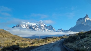
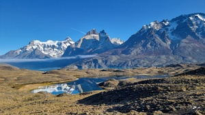
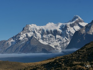
Perched on top of some of the cliffs were some cute guanacos which looked like they were posing against the stunning backdrop of the peaks.
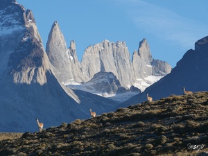
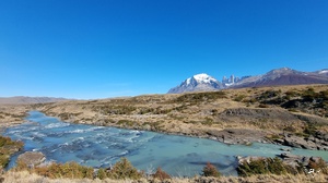
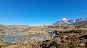
While driving north, we also made quite a few stops next to the Paine River - the landscape of jagged mountains and turquoise water coming from the glaciers was out of this world!
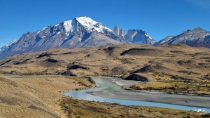
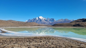
Laguna Amarga ("Bitter Lagoon") and the reflections of the Torres del Paine in its blue-green water were another WOW! It was simply picture-perfect!
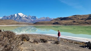
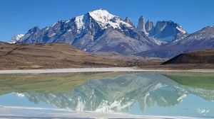
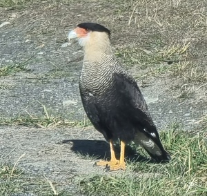
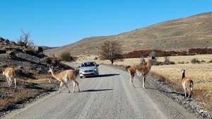
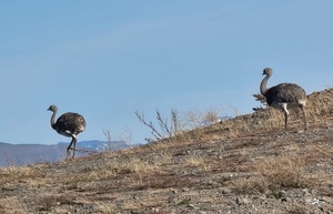
We continued further north along the Paine River and crossed many guanacos, rheas and crested caracaras, standing next to or crossing the road (they had priority in the park…)!
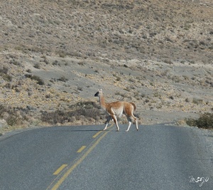
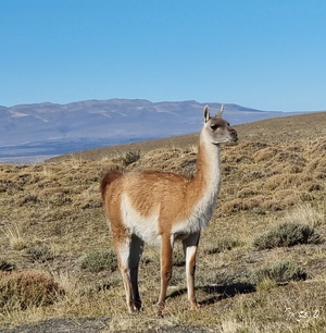
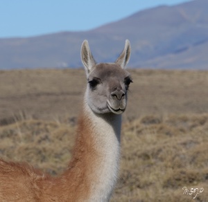
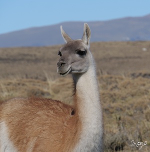
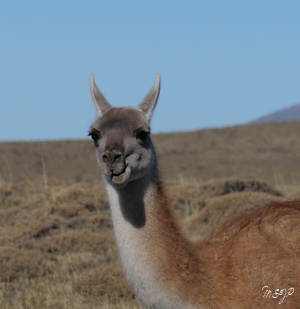
Some guanacos were making funny faces and were posing for us! The cutest were the teenagers!
At the Paine Waterfall (Cascada Paine) our jaws dropped…again! It was gorgeous, but what made it even more special were the bright autumn colours around and the views of the needle-shaped Torres del Paine in the backdrop.
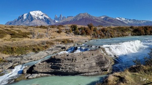
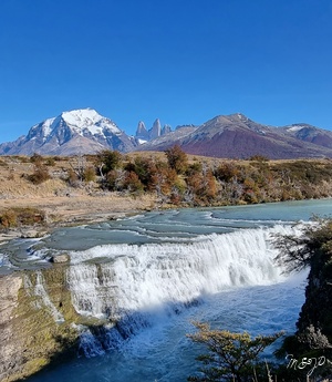
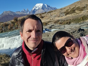
A little bit further north, the Blue Lagoon (Laguna Azul) at the park’s northern edge was less visited and incredibly stunning as well.
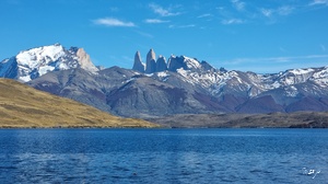
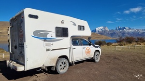
It offered yet another panoramic perspective of the iconic blue towers, topped with tons of cute guanacos grazing around and various birds flying above, floating or swimming in the lagoon!
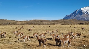
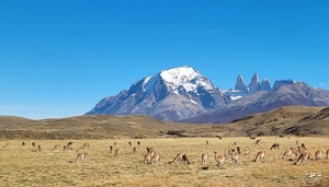
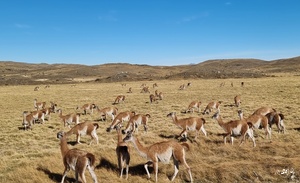
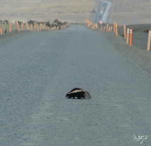
Our last stop in the park was the Lake Sarmiento Viewpoint (Mirador Lago Sarmiento) next to the turquoise-coloured Lake Sarmiento. We came across more guanacos, rheas and even a Patagonian skunk, crossing the road really slowly like he did not have the slightest worry in the world!
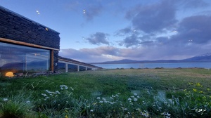
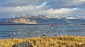
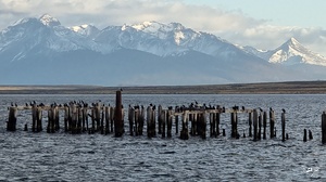
We left the park conscious of the fact that we had only explored a tiny part of it and had to come back! The hike to the Las Torres Base Viewpoint (Mirador Base Las Torres), leading to a turquoise glacier-fed lake at the base of the three towers, is still on our bucket list! In the late afternoon, we stopped for the night at Puerto Natales and stayed at a cute hotel overlooking the beautiful Última Esperanza Sound (Seno de Última Esperanza or "Last Hope Sound").
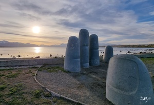
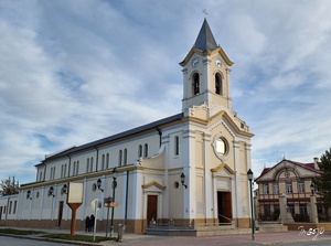
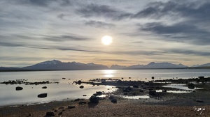
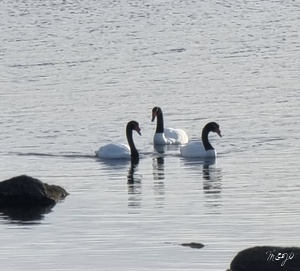
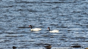
We went for a walk along its shore and it was a real delight to watch the ships and the famous black-necked swans (found only in the southern tier of South America) glide graciously not too far away from us.
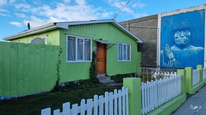
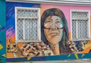
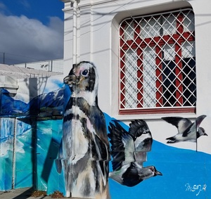
The town was very cute with lots of street art.
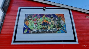
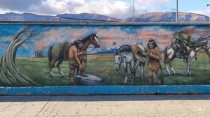
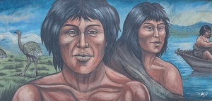
The most interesting murals were those depicting the indigenous tribes of the area.
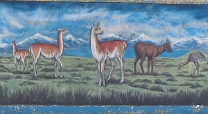
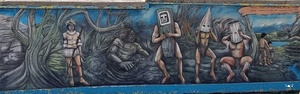

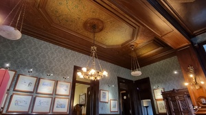
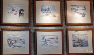
We spent the following day and night in Punta Arenas, located on the western shore of the Strait of Magellan. It is the Chilean gateway to Antarctica - almost all cruise ships to the Seventh Continent depart either from here, or from Ushuaia in Argentina. Contrary to Ushuaia, while Punta Arenas also included a penal colony at some point, it did not start as one. Its harbour was considered one of the most important in South America before the construction of the Panama Canal. The city also prospered with the introduction of breeding sheep from the Falkland Islands (Islas Malvinas) and the development of the wool economy, which explains its architectural wonders. You will come across numerous European-style mansions, such as the Sara Braun Palace (Palacio Sara Braun) with French and Russian influences, built in 1895 by the new widow of the city’s most prominent businessman. Today, the magnificent winter garden of the palace houses the Shackleton Bar, named after the famous British explorer and featuring many watercolour paintings telling the story of his Antarctic expeditions.
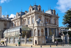
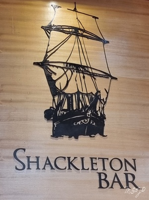
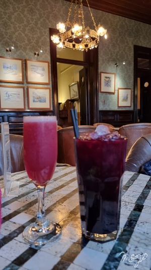
After our Antarctica cruise, we could not pass by without having a couple of drinks in the bar. The red fruit mojito and the pisco - the local sour cocktail, made of grape brandy mixed with fresh lemon juice and sugar, did not disappoint!
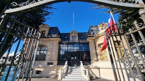
During our walk around the city, we stopped at more mansions built by the wool barons, such as the pink José Menéndez Palace and the creamy Braun-Menéndez Palace.
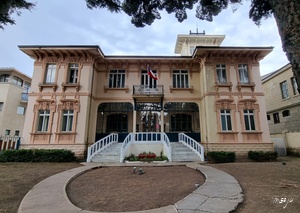
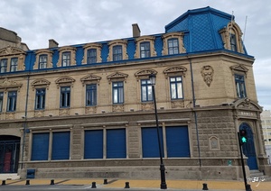
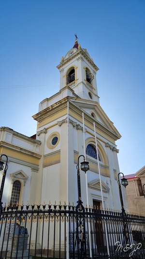
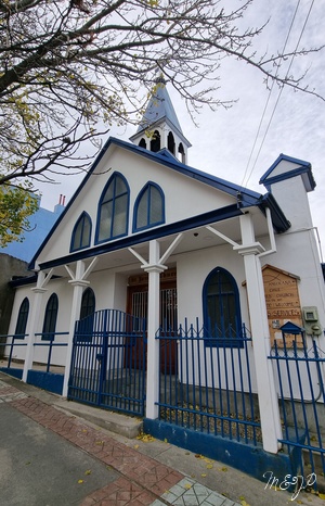
Punta Arenas also featured beautiful churches, such as the bright yellow Renaissance-style Sacred Heart Cathedral (Catedral del Sagrado Corazón) and the white and blue St. James Anglican church, both built at the end of the 19th century.
Besides its mansions and churches, the city boasted cute colourful houses, often consisting of wooden structures and metal roofs. A grey house with a white roof, a yellow one with a red roof, or a pink one with a pink fence, a lovely flower garden and a red vintage Volkswagen Beetle car in front of it…
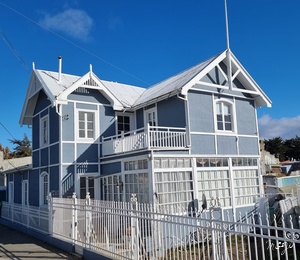
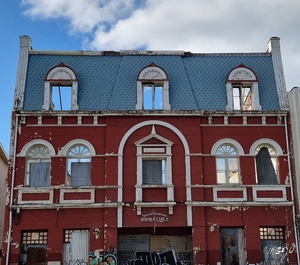
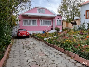
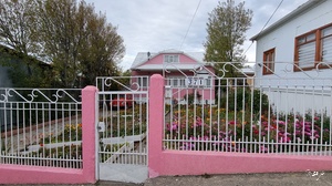
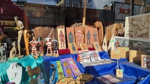
The streets were also full of street art, from penguins to indigenous people. Tiny shops with local indigenous art popped up from time to time and it was impossible not to check out at least a few of them. The whole city was incredibly cute and, if we did not know we were in Patagonia, we might have thought we were somewhere in Europe.
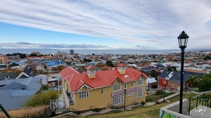
Do not miss to climb the staircase to the La Cruz Viewpoint (Mirador La Cruz) to enjoy the panoramic views of the entire city, the Strait of Magellan and the islands of Tierra del Fuego in the distance.
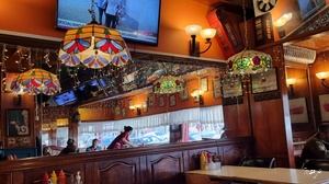
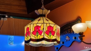
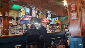
It was such a pleasant place to stroll around, that we almost forgot lunch until we bumped into the cute local restaurant Lomito’s. It looked like a stylish American diner with Art Nouveau stained glass lamps featuring floral motifs, but was actually a sandwich-and-beer joint serving delicious lomitos - loaded steak sandwiches eaten in South American countries.
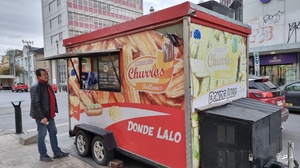
A little bit later we found our dessert in a food truck! This was the only place in the world where we had ever tried churros with dulce de leche, and they were a killer! We still remember with tenderness these crispy and crunchy sweets, filled with sticky, super sweet caramel deliciousness…
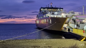
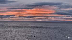
On the following day we crossed the Strait of Magellan for the second time, this time from Punta Arenas to Porvenir, getting back on the Tierra del Fuego archipelago. The gorgeous pink colours of the sunrise were something!
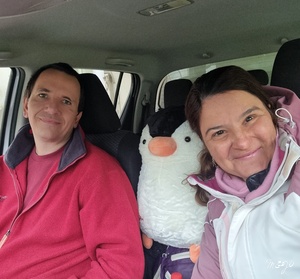
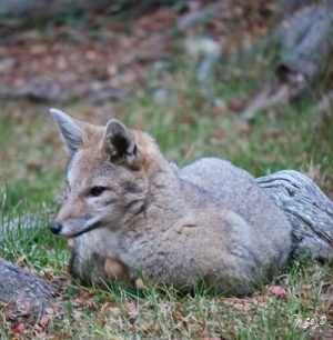
In the past two weeks, the mountains had put their snowy caps on… We came across many pink flamingos and guanacos on the road - we were starting to get used to these guys and we knew that we were going to miss them! A more unusual sight was the gray Patagonian fox or chilla, endemic to the southern parts of Chile and Patagonia, which we spotted as well. That day, we also crossed the border between Chile and Argentina for the fourth, and last, time, together with our new travel buddy - the penguin Fluffy whom we had adopted in Chile!
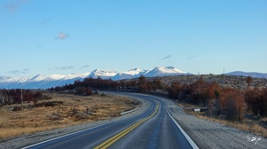
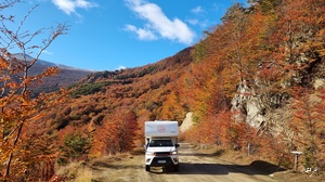
The time had also come for our last off-road drive on the way between Porvenir and Ushuaia. Thanks to our 4WD pick-up, we were able to cross the mountain range between the Hidden Lake (Lago Escondido) and Ushuaia in the south.
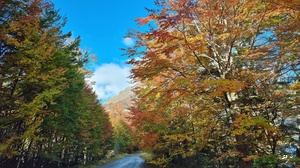
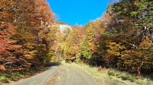
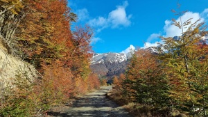
We had to drive through rough dirt roads, cross rivers and take some crazily sharp hairpin turns, pushing us to the edge of some very steep and narrow passages.
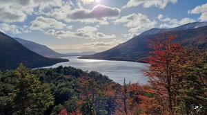
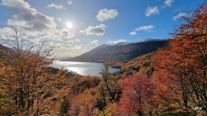
Our campervan was way too heavy for that type of terrain. Sometimes, we were literally hanging over the precipices, which is not something we are ready to repeat in the future! Also, there was (perfectly normal for Patagonia!) lots of wind - we could see the waves on the surface of the Hidden Lake! However, once engaged, it was even more difficult to turn back, and so we kept going...
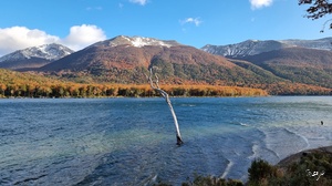
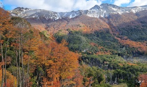
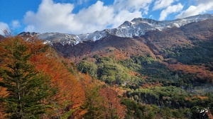
It was a crazy drive and looking at the road beneath once we had reached the top made us feel dizzy…
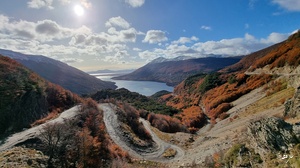
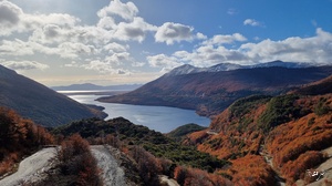
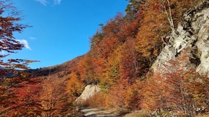
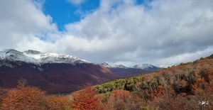
But it was worth it - the views all along the path and from the Garibaldi Pass Viewpoint on the top of the forest in stunning autumn colours, the snow-capped mountains and the lake left us speechless… It was so beautiful and peaceful, like a forest fairytale…
Not too far away from the Hidden Lake, we went for a hike to the stunning Emerald Lagoon (Laguna Esmeralda) and felt a pang of sadness at the thought that it was our last hike in Patagonia…
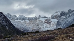
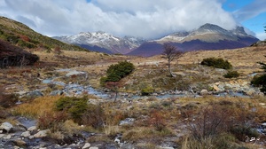
The trail was incredibly muddy! We were lucky an Argentinian couple who had just come back from the hike gave us their wooden sticks, which made a huge difference. We used them to lean on to be able to pull our hiking boots out from the mud… At the beginning of the trail, we met a lot of people wearing white sneakers - I am not sure whether they went much further down the trail, but can bet the colour of their shoes had changed drastically after the walk!
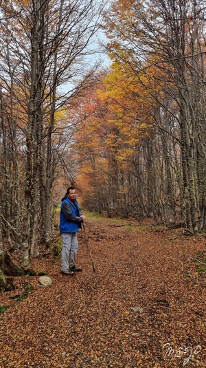
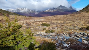
The turquoise colour of the lagoon, the bright hues of the leaves in the forest and the snow on the mountain peaks were simply magical!
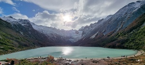
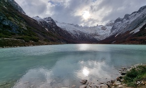
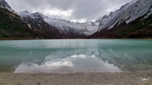
On the way back, it started snowing…
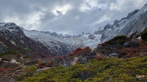
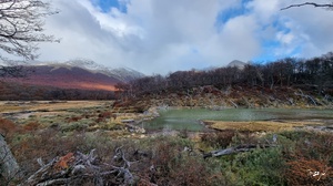
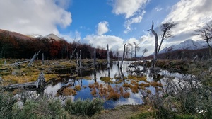
When we reached Ushuaia at the end of the road, we realized that the mountains around the city at the End of the World had also got their snowy caps, which looked even more gorgeous at the sunset light, while still keeping some of their colourful autumn leaves coats…
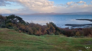
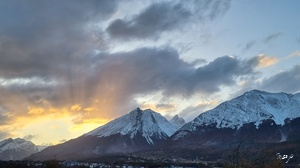
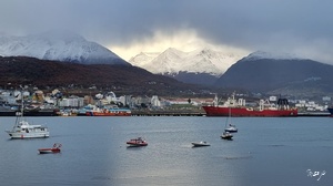
It looked like nature was not quite sure whether it was still autumn or already winter…
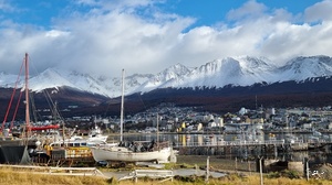
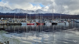
We went for one last walk around Ushuaia and its surroundings.
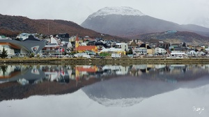
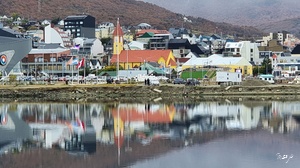
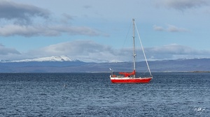
The reflections of the city in the Beagle Channel, the colourful houses and sailing boats and the rainbows after the rain were the most perfect finale of another "once in a lifetime" trip.
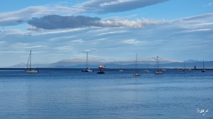
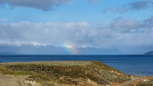
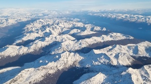
After more than 3,000 km (1,864 mi) in two weeks (and this was only the southern part of Patagonia…), we flew back to Buenos Aires. The jaw-dropping views of the Strait of Magellan and the snow-capped Patagonian Andes were like the end of a dream. We will miss you, Patagonia (except for the wind and the cold of course…:-))!

You like what you read?
-
 P for Paradise and Provence (part 2)
Stunning nature - You cannot leave Marseille without hiking to … -
 P for Paradise and Provence (part 1)
France used to be divided into historical regions, which do … -
 The Valley of Roses and Kings (part 2) The Valley of Kings
The Valley of Roses is famous not only for its … -
 The Valley of Roses and Kings (part 1) The Valley of Roses
Out of all the flowers in the world the rose … -
 In the heart of the Silk Road (part 4) Khiva and the Desert Castles
Khiva - It took us 6 hours, almost a whole … -
 In the heart of the Silk Road (part 3) Bukhara
Bukhara - While Tashkent is a modern city with some … -
 In the heart of the Silk Road (part 2) Samarkand
Samarkand - No name is so evocative of the Silk … -
 In the heart of the Silk Road (part 1) Tashkent
The Great Wall of China, Machu Picchu, the Pyramids of … -
 The Land of Giants at the End of the World (part 2)
We crossed for the third time the border between Argentina … -
 The Land of Giants at the End of the World (part 1)
No visitors come back from Antarctica in the same state … -
 A Vitamin Sea Christmas in the Mediterranean
Human beings are full of contradictions! When we used to … -
 Spring Colours in the Kingdom of the West (part 6) Morocco is yellow
Morocco is yellow - Besides the yellow hues of the … -
 Spring Colours in the Kingdom of the West (part 5) Morocco is red
Morocco is red - Besides the red hues of the … -
 Spring Colours in the Kingdom of the West (part 4) Morocco is orange
Morocco is orange - Our first encounter with the legendary … -
 Spring Colours in the Kingdom of the West (part 3) Morocco is green
Morocco is green - The Rif Mountains east of Tangier, …
